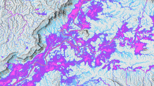
See what is changing. Understand what is exposed. Decide what matters next.
Where do you need clearer spatial evidence?
Many organisations already have asset, environmental and hazard data, but still need a clearer view of what is changing, where exposure is concentrated and what deserves attention next.
- What has changed across the places, assets or landscapes you manage?
- Where is exposure concentrated?
- Where do vulnerability indicators point to areas needing closer review?
- What should be prioritised for inspection, planning, mitigation or adaptation?
Start with the decision you need to support
Geoneon applies spatial intelligence across vegetation, wildfire, heat and flood to help organisations understand change, exposure and where to focus next.
See how spatial intelligence supports real decisions
Selected projects show how Geoneon applies spatial evidence to preparedness, planning, prioritisation and adaptation.
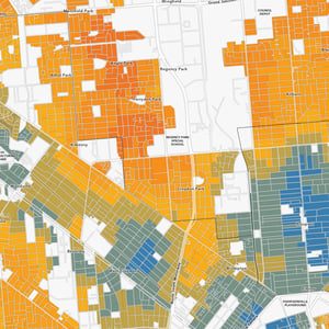
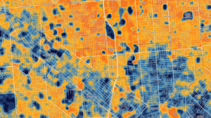
A repeatable framework across seven metropolitan Adelaide councils combined heat, canopy and vulnerability evidence to support comparison and prioritisation.
Read case study
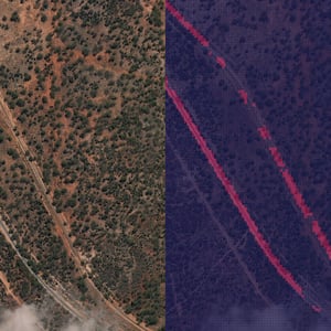
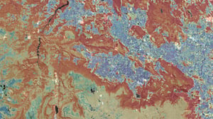
Spatial analysis connected modelled wildfire conditions with freight corridors in the Shire of Dundas, helping identify where preparedness and access review should focus.
Read case study
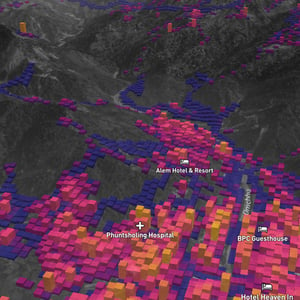
Across two Bhutanese study areas, hazard susceptibility was combined with buildings, roads, power infrastructure and replacement-value estimates to identify areas for closer review.
Read case studyFrom spatial evidence to clearer decisions
The same approach underpins our work across vegetation, wildfire, heat and flood: combine relevant evidence, analyse what matters and turn the results into practical decision support.
- Observe and combine
Bring together earth observation, environmental data, asset information and other relevant spatial evidence. - Analyse what matters
Apply spatial analysis, modelling and machine learning where useful to identify change, exposure, patterns and vulnerability indicators. - Support decisions
Turn the analysis into maps, evidence and prioritisation for preparedness, planning, adaptation and investigation.
The result is a clearer basis for deciding what to review, maintain or address next.
Explore our latest analysis
Recent technical insights from Geoneon on climate risk, Earth observation and spatial decision support.
Selected organisations we work with
Across government, infrastructure and international development.






Have a project or question in mind?
Tell us what you need to understand or decide. We can help assess what spatial evidence and analysis would be useful.